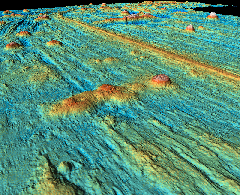
 3D-View, Nazca Plate / Pacific Plate
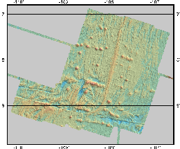
The data have been measured with the STN Atlas Multibeam Echosounder Hydrosweep DS-2, recorded in Sep.1991 on board "R/V Maurice Ewing" (see Homepage and Photograph), which is operated by Lamont Doherty Earth Observatory.
For further datasets, see the Ocean Floor Databases.
 Shaded Relief, Nazca Plate / Pacific Plate
 3D-View, Nazca Plate / Pacific Plate